
Varberga Park
Landscape Architecture Presentation
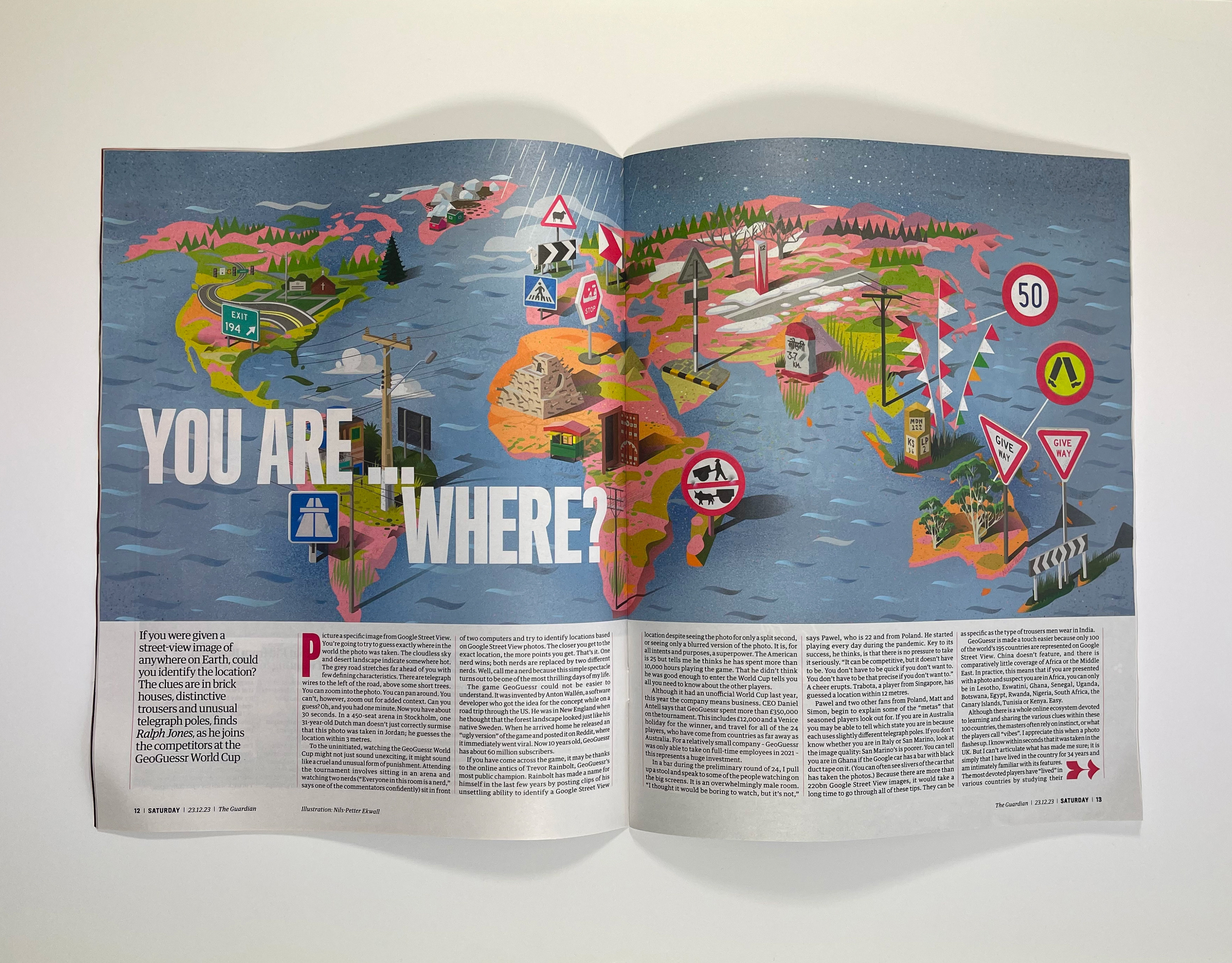
GeoGuessr
Illustrated map for The Guardian / Saturday Magazine
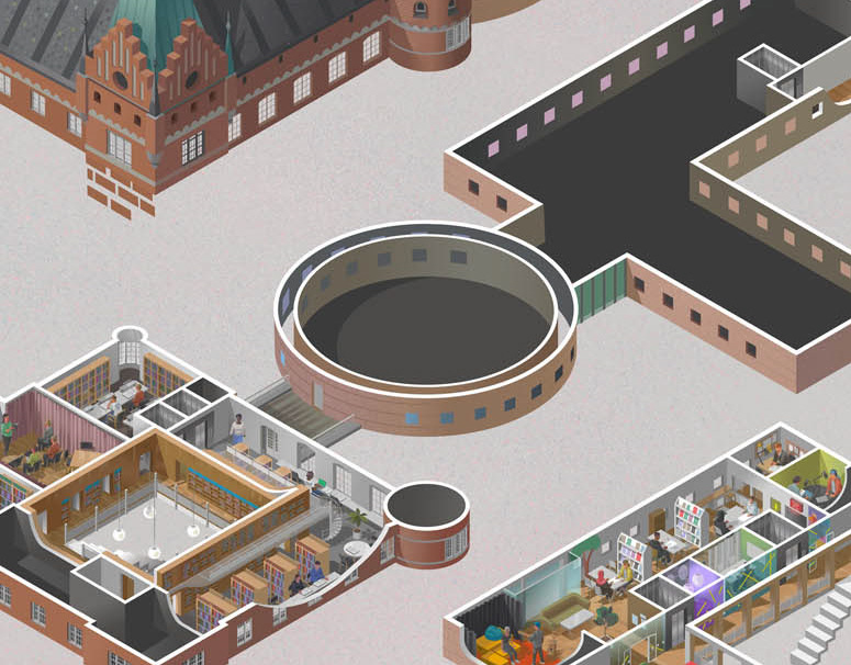
Malmö City Library
exploded cut-away illustration
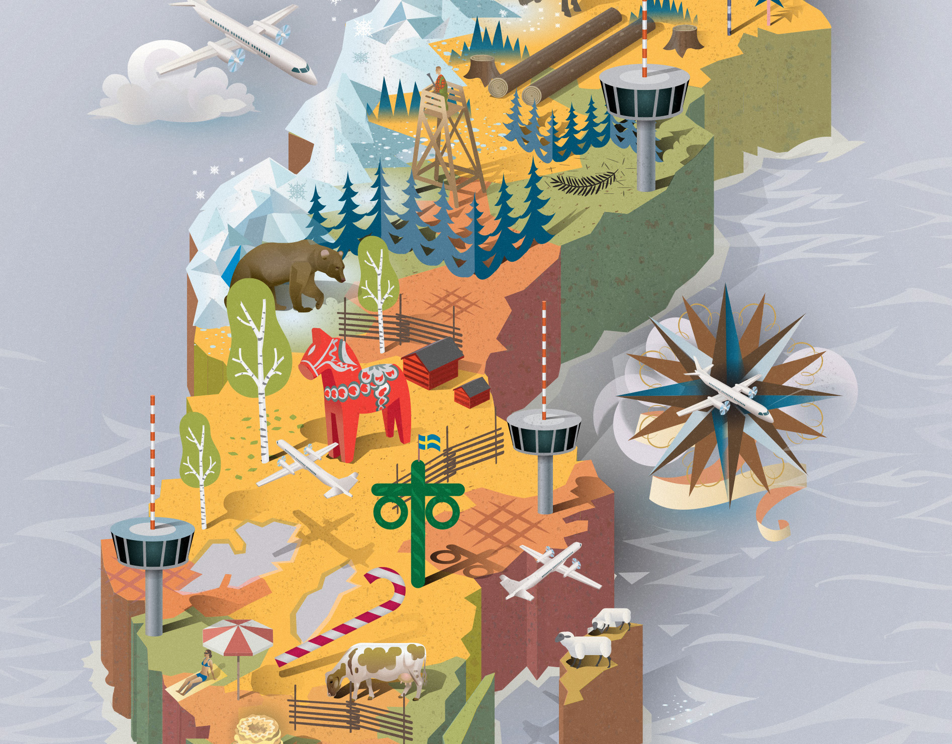
Braathens
Illustrated map of Sweden - Sverigekarta - for aviation company
ENI
Super detailed Illustration for Italian oil & gas company

San Francisco PUC
58' long interactive illustration for SF PUC headquarters

Men's Health Map
Illustrated map
Furuvik Park
Illustrated map for zoo and amusement park

Göteborgs Energi
Infographic map illustration
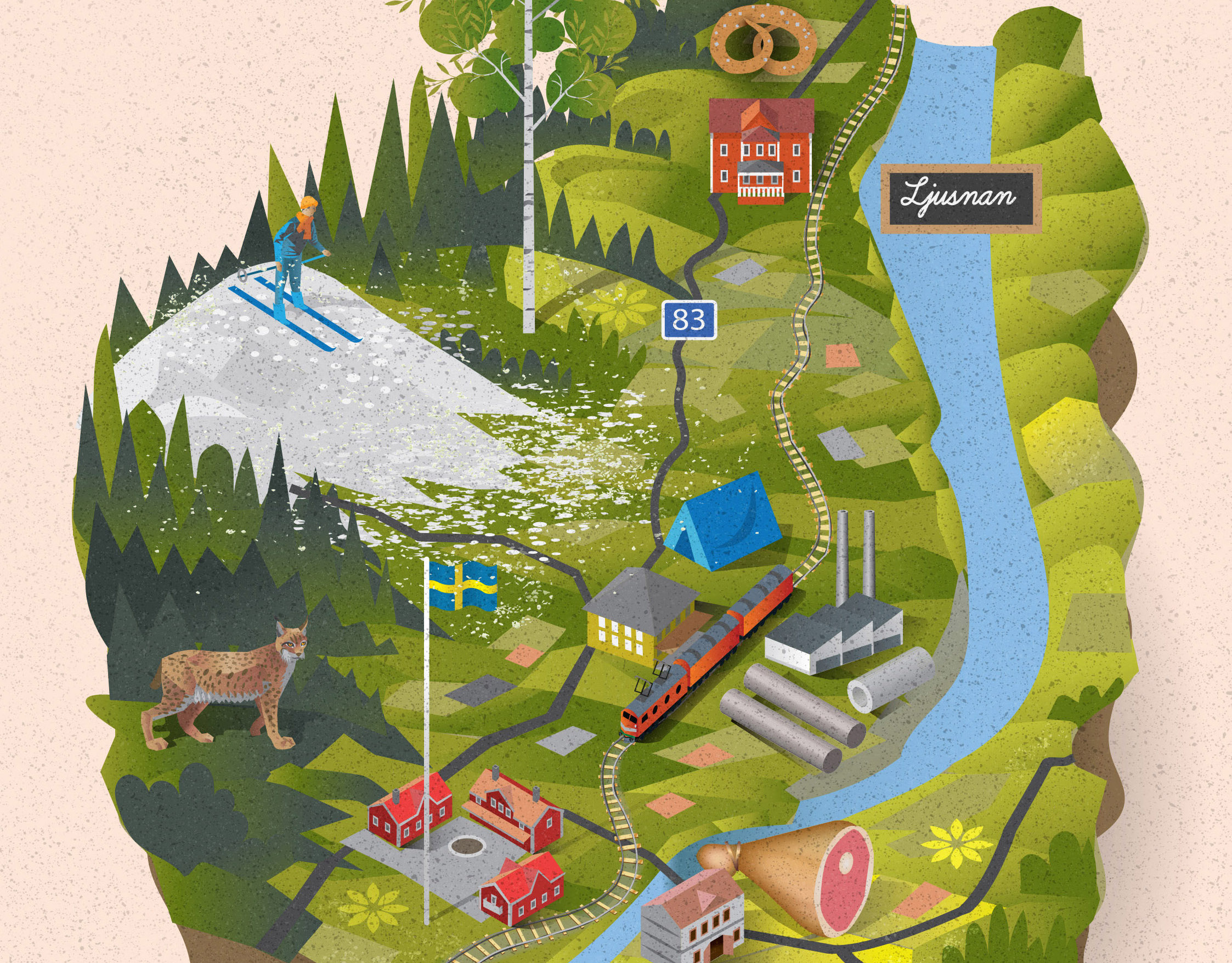
Järvsö
Illustrated Tourist Map

Tampa Bay
Cover Illustration for United Airlines Supplement Dossier

Wallpaper*
Illustrated map
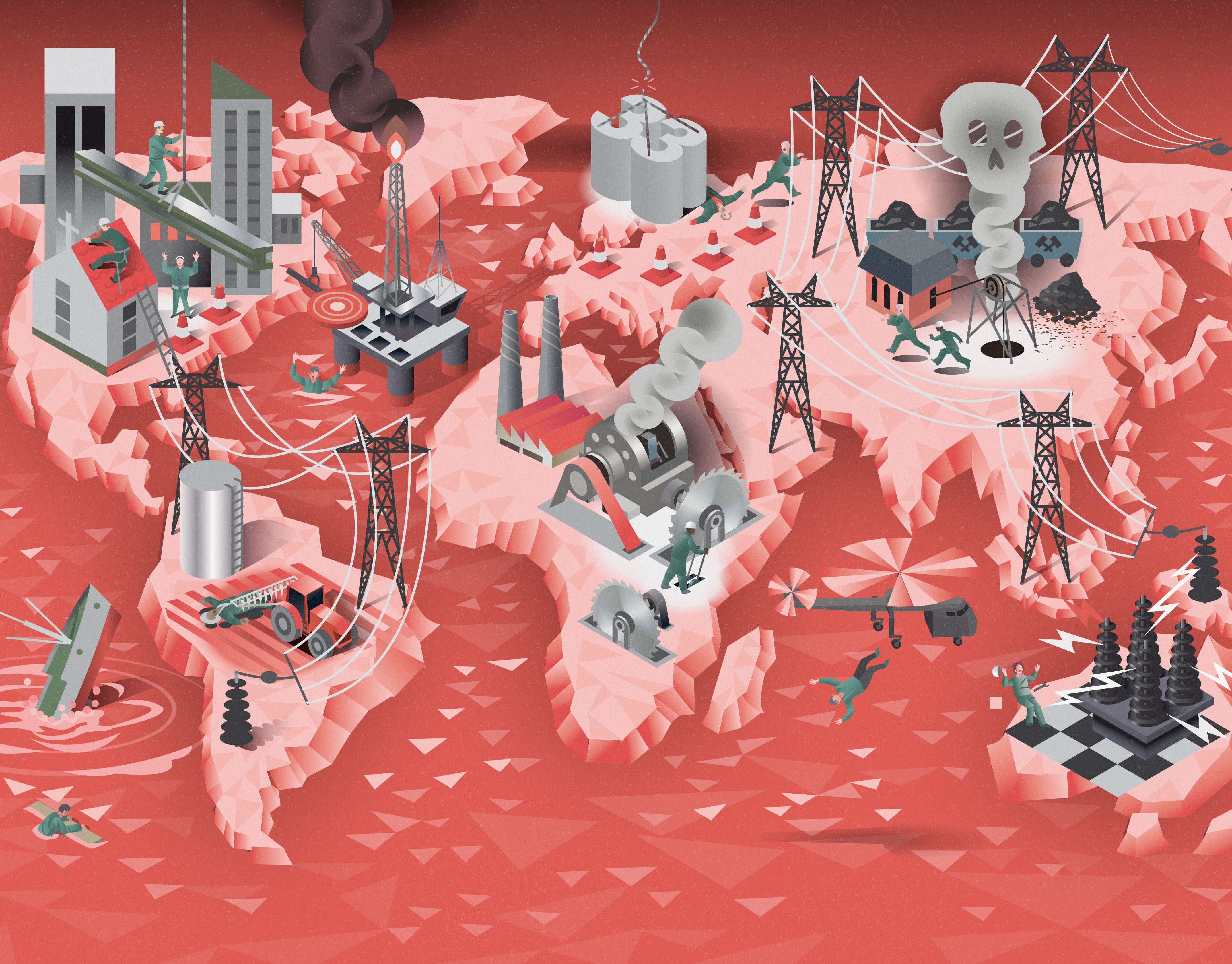
Work-related Death
World map for Swedish Standard Institute
Snel Sneller Snelst
Illustrated world map for Dutch telecom company KPN
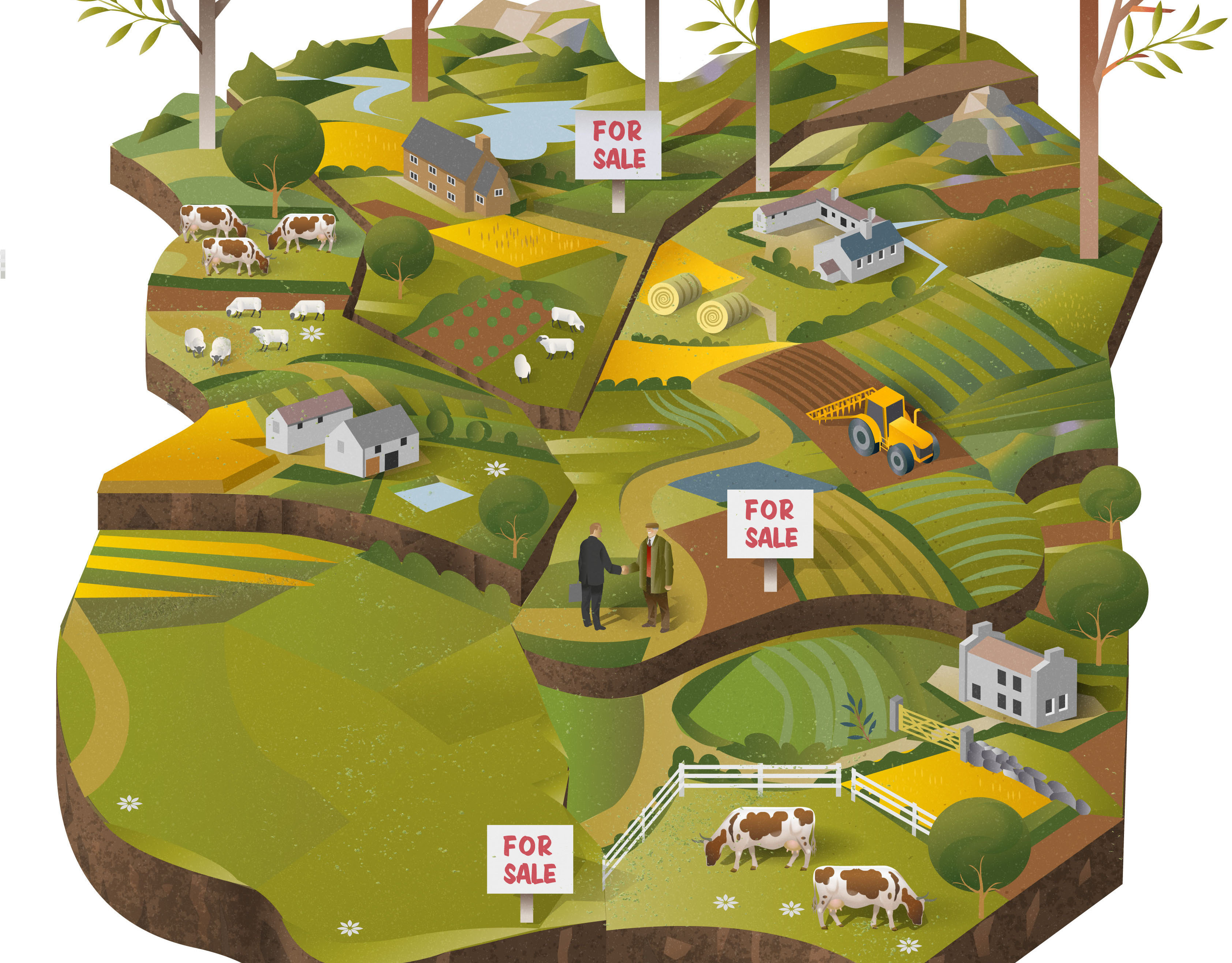
Land Business
Illustrations for Strutt & Parker bimonthly

China Eastern Airlines
Bird's eye view of China and Australia drawn together

Rosengård Map
Illustrated map
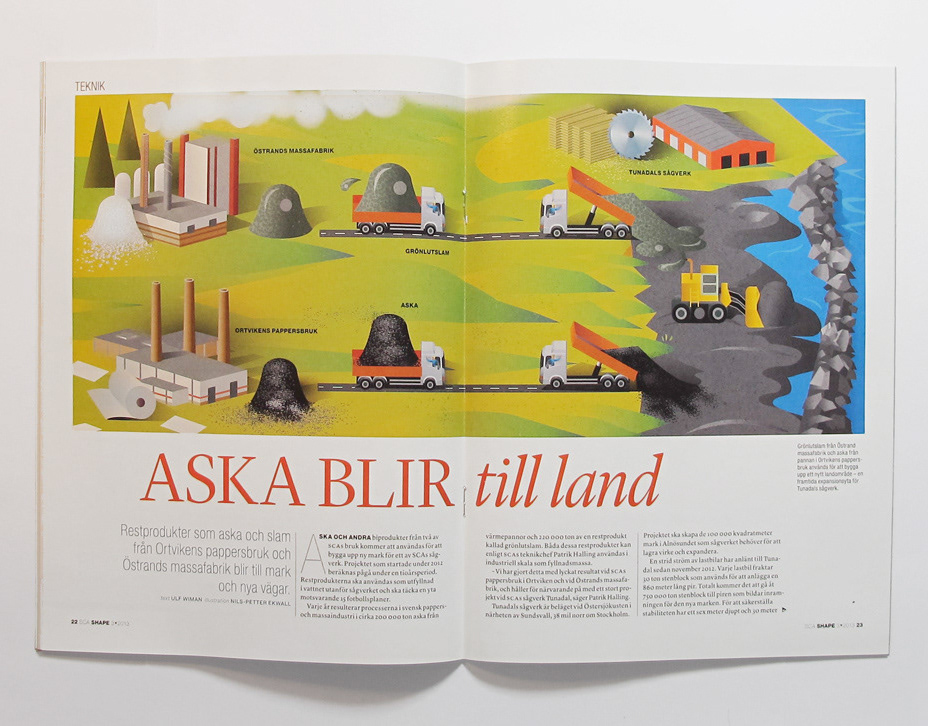
SHAPE
Cute infographic illustration for SCA
The Financial Times
Property & Infrastructure - cover illustration and inlays

Nova Lund
Large scale illustration

Bergslagen
Pictorial maps for Filter Magazine and Bergslagen Interest Group
Skånetrafiken
Illustrated map for for advertisement
Täby development areas
Täby Aerial view drawing
Tour de France explained
Illustrated Map showing the cycling stages
Tour de France Map
Creative decorative edging

Iranian government explained
organizational hierarchical map
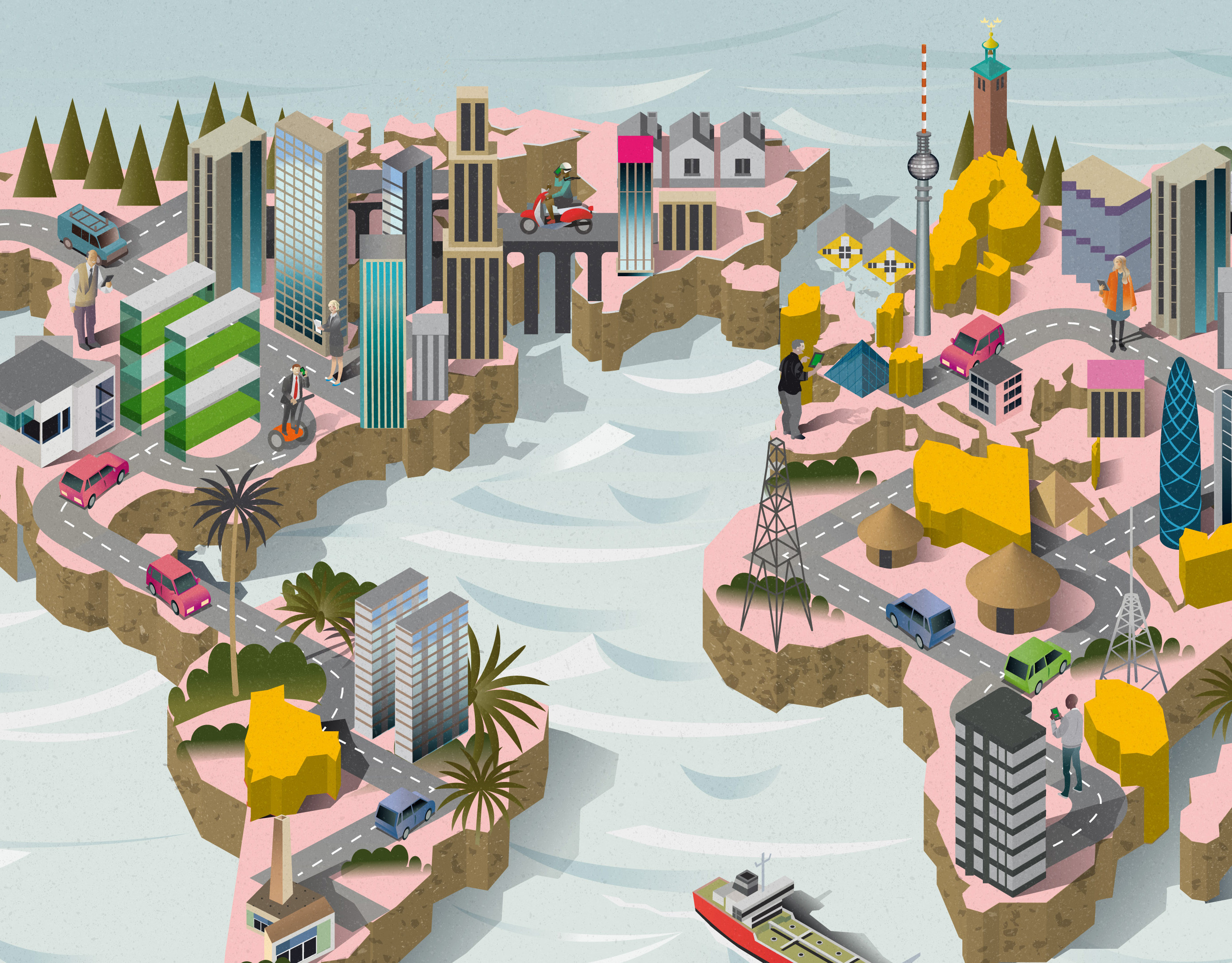
A Map of The World
My work is featured in his lovely book from Gestalten

Kopia av Standard Magazine
Infographic flowchart / Shortlisted at AOI's World Illustration Awards 2015

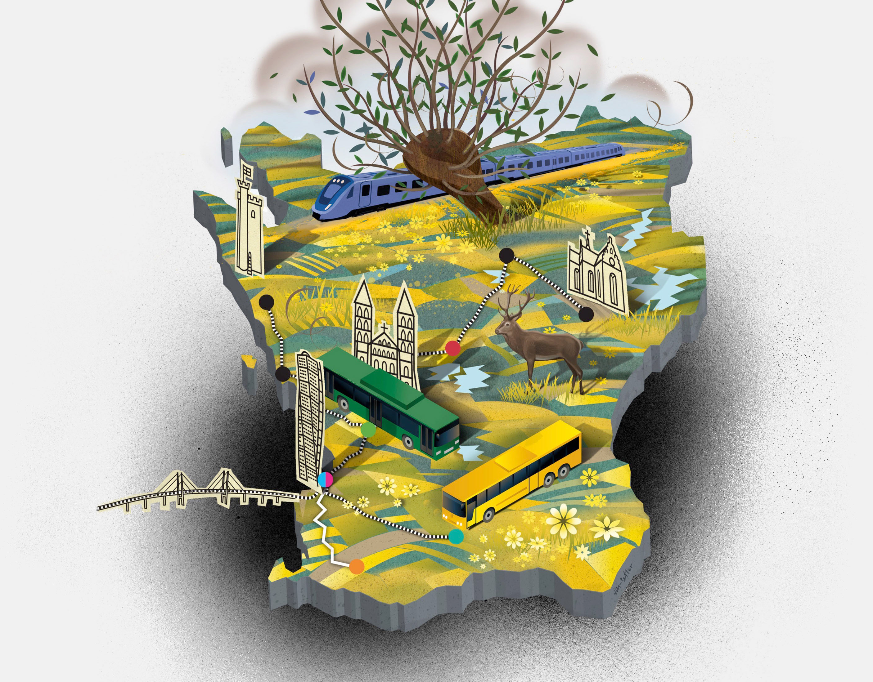
Orange
Illustrations for French telecommunication corporation
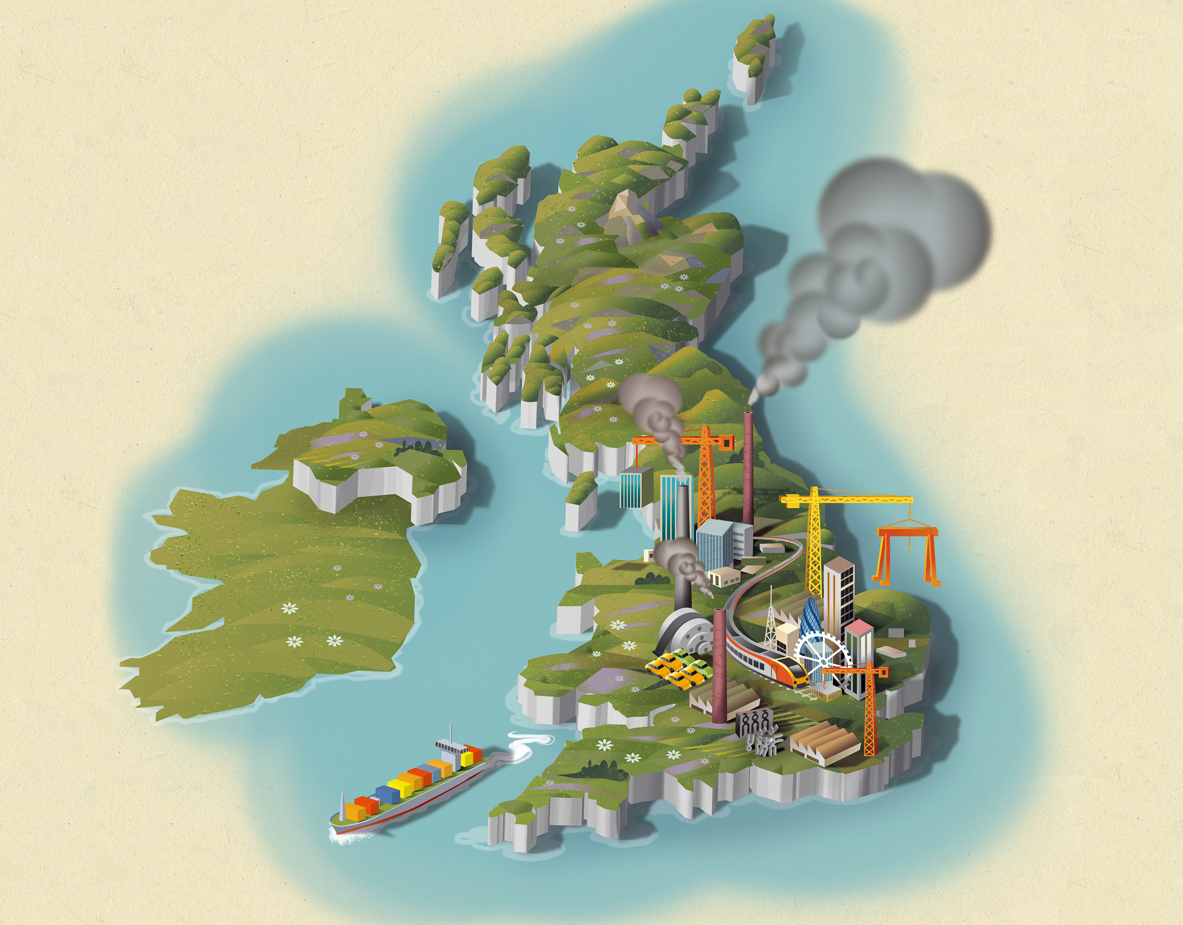
Economia
Illustrations for Economia Magazine